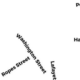
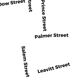
5 SALEM STREET
Owner Information
DKRF, LLC
21 SOMERSET DRIVE
ANDOVER, MA 01810


Property Details
5 SALEM STREET is classified as a Three-Family Residential (3 family).
The primary structure on this property was built in 1920. There are 3,171ft2 of built area within this property. There is 3,171ft2 of residential/living space within this property. This property is listed as having 15 rooms. There are 3 units within this property.
5 SALEM STREET is valued at $532,800. The land is valued at $119,200 and the structures are valued at $413,400. There is an additional valuation of $200 on this property.
This property is in Zone R3. Confirm with local Zoning Board authorities to ensure there are no overlays or other easements on this property.
The most recent deed for 5 SALEM STREET is recorded at the local registrar in Book 35151, Page 244. 5 SALEM STREET was last sold on Friday, August 5, 2016 for $387,000.
Assessment data from fiscal year 2022.
Flood Data
According to the FEMA National Flood Hazard Layer, this property does not appear to be in a flood zone. It may also be in an area not yet reviewed. Nonetheless, confirm this information prior to taking any action.
To view the flood hazards around this property, create a FEMA "Firmette" Map of the area around 5 SALEM STREET.
Broadband Internet Providers
| Provider | Type | Bandwidth (mbps) | |
|---|---|---|---|
| HughesNet | Satellite | 25 | 3 |
| GCI Communication Corp. | Satellite | 0 | 0 |
| Comcast | Cable | 1000 | 35 |
| Verizon New England Inc. | DSL | 15 | 1 |
| Viasat Inc | Satellite | 100 | 3 |
| VSAT Systems, LLC. | Satellite | 2 | 1 |
Broadband service provider data from December 2020.
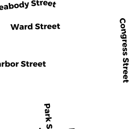
Adjacent Properties
- 10 PARK STREET
Apartments with Four to Eight Units owned by BOZARJIAN ELIZABETH A - 9 SALEM STREET
Two-Family Residential owned by LEIBOWITZ ROSANNA H - 1 SALEM STREET
Two-Family Residential owned by REYNOSO JOSE - 2 PARK STREET
Three-Family Residential owned by DIAZ ANA - 6 PARK STREET
Three-Family Residential owned by GUZMAN JUAN A